


The Institute for Space Studies of Catalonia’s Institute of Space Science unit (IEEC/ICE-CSIC) led the campaign, with the Mediterranean Institute of Advanced Studies (IMEDEA-CSIC/UIB) and Balearic Islands Coastal Observing and Forecasting System (SOCIB) working on the buoy deployment, data recovery, archiving, dissemination and analysis. The German Aerospace Center’s Institute for Solar-Terrestrial Physics (DLR-SO) is overseeing analysis of tropospheric and ionospheric interference.
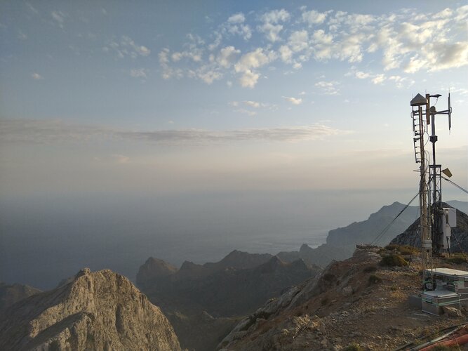
The receiver station was set up within the military zone of the 7th Aerial Surveillance Squadron of the Spanish Air Force, who also provided electrical power and logistical support.
“Our test campaign is now over, having run from April to July,” adds Estel. “The main reason we aren’t observing for longer still is simply the sheer amount of raw data gathered by our receivers: 320 MB per second, adding up to more than a terabyte per hour. While our preliminary indications look promising, it is still going to take several months for us to properly process this gargantuan dataset.”