...the who's who,
and the what's what 
of the space industry

Space Careers

news Space News

Search News Archive

Title

Article text

Keyword

  • Home
  • News
  • Call for ideas to augment satnav with imaging sensors & 3D maps

Call for ideas to augment satnav with imaging sensors & 3D maps

Written by  Monday, 14 June 2021 12:01
Write a comment
Applying imaging sensors and 3D mapping to navigation

Busy urban centres represent key areas of demand for satellite navigation services, but dense concentrations of high buildings mean that satnav signal reception may sometimes fall short. So ESA is issuing a call for ideas to make up for such service gaps through the use of imaging and 3D mapping technology – ahead of a dedicated workshop on 6 July.

Multipath in urban canyons

The use cases to be addressed revolve around private or public autonomous transportation in cities, and other satellite-visibility constrained environments, where augmentation technologies can make a big difference. The targeted mobility classes include cars, trams, scooters, bikes, urban ferries, harbours, narrow waterways navigation and future passenger drones.

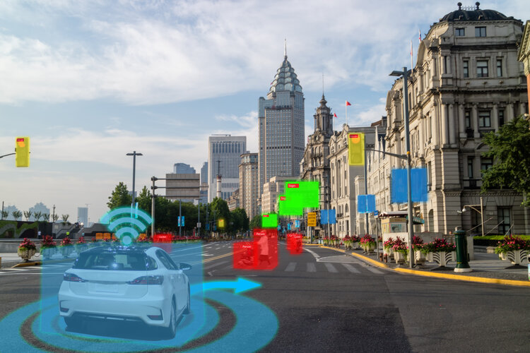
Imaging sensors can be used to map the surrounding of the vehicle and might also be used to identify features of the environment recorded in 3D maps.

High fidelity 3D city models can also be used to predict satellite position and enhance signal reception conditions to improve the user position. Some of the techniques require processing of vast amount of data. However this challenge could be surmounted using AI algorithms, and by performing the bulk of heavy computations in the cloud.


Read more from original source...

You must login to post a comment.
Loading comment... The comment will be refreshed after 00:00.

Be the first to comment.

Interested in Space?

Hit the buttons below to follow us...