Copernical Team
Artemis II main engine
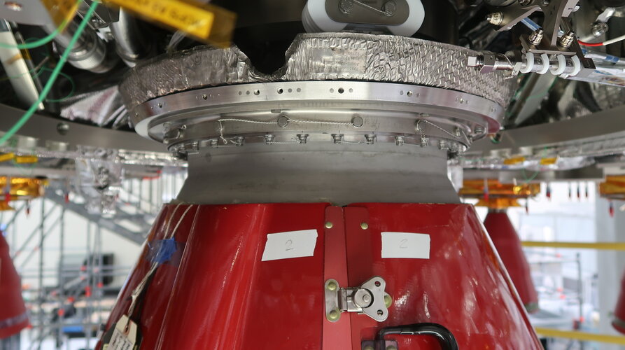 Image:
Artemis II main engine
 Artemis II: main engine nozzle install
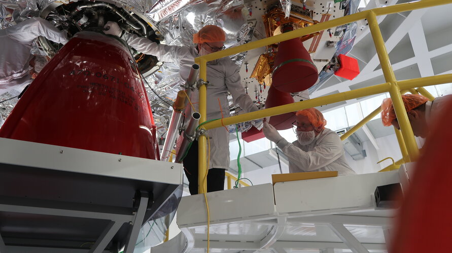 Image:
Artemis II: main engine nozzle install
 Chile battles raging wildfires
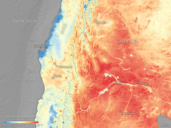 Image:
Deadly wildfires continue to rage in south-central Chile destroying hundreds of thousands of hectares of land across the country. Satellite images captured by the Copernicus Sentinel-3 mission on 4 February show the ongoing fires and heatwave in South America.
 Industry Day: find out how to take part in low-orbit satnav testing
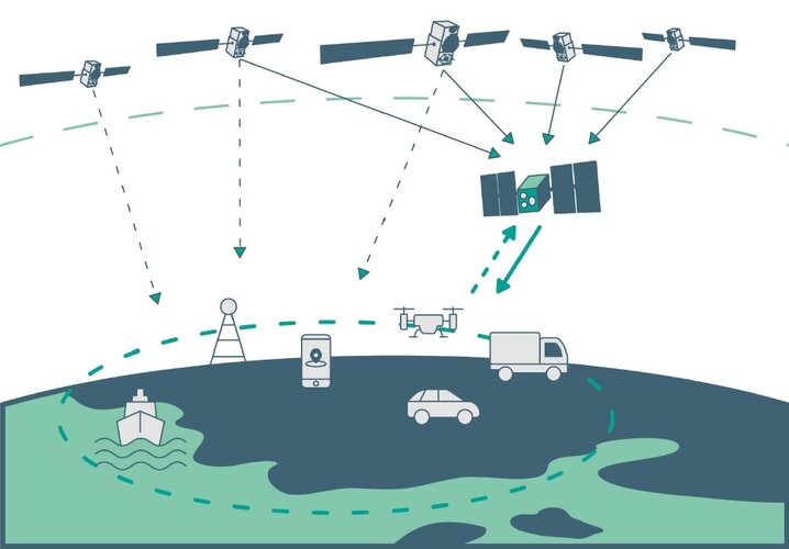
ESA is embarking on the in-orbit demonstration of a new satellite navigation constellation operating much closer to our planet, utilising novel frequencies and capabilities, so the Agency is looking for European companies interested in taking part. Attend ESA’s LEO-PNT Industry Day on 7 March at ESA’s ESTEC technical centre in the Netherlands to find out more.
Meteorologist turned engineer creates clouds for icing research
 Emily Timko has the power to control the temperature, form wispy clouds, create ice crystals, and produce powerful gusts of wind. She has a lot in common with Queen Elsa from the movie "Frozen," but she's actually much cooler.
Timko is an icing cloud calibration engineer at NASA's Glenn Research Center in Cleveland and works with a team of 14 other engineers and technicians to characterize
 CACI contracts with US Army to develop and test demonstration satellite payloads
 CACI International Inc (NYSE: CACI) signed a five-year cooperative research and development agreement (CRADA) with the U.S. Army Space and Missile Defense Technical Center (USASMDC-TC) to further the development of advanced payload technologies, space sensor applications, and resilient Positioning, Navigation and Timing (PNT).
Previously, CACI announced a 2023 satellite launch to test a mu
 UConn study clears up cloudy data for improved satellite imagery
 A cloudy day can ruin a trip to the beach, a scenic picnic, and lots of other outdoor activities.
But clouds in satellite imagery are also a big issue for remote sensing and land change scientists.
When scientists want to study how land surface is changing, they often use composite images consisting of multiple satellite images of the same place to create a representative "snapshot"
 Building a catalog of lunar trash to track
 Scientists and government agencies have been worried about the space junk surrounding Earth for decades. But humanity's starry ambitions are farther reaching than the space just around Earth. Ever since the 1960s with the launch of the Apollo program and the emergence of the space race between the U.S. and Soviet Union, people have been leaving trash around the Moon, too.
Today, experts es
 SpaceX launches Hispasat's Amazonas Nexus communication satellite
 After a 27-hour delay due to poor weather at the launch site and unfavorable booster recovery, SpaceX launched a Falcon 9 rocket on Monday, February 6th, 2023, from Cape Canaveral on a mission to place the new Amazonas Nexus High-throughput Satellite (HTS) into its geostationary transfer orbit (GTO) and towards its geosynchronous equatorial orbit (GEO) position at 61+ West longitude.
The
 AWE completes space environment tests
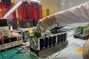
 NASA's Atmospheric Waves Experiment (AWE) has successfully completed its critical space environment tests. Planned for launch to the International Space Station, AWE will study gravity waves in Earth's atmosphere to gain a deeper knowledge of the connections caused by climate systems throughout our atmosphere and between the atmosphere and space.
From its unique vantage point on the Intern
